Hochwasser HamburgPegel Hamburg St. Pauli

Hochwasser-Karte Hamburg

Alle Orte mit ihrem aktuellen Status. Form und Text zeigen den Status, die Farbe unterstützt nur.
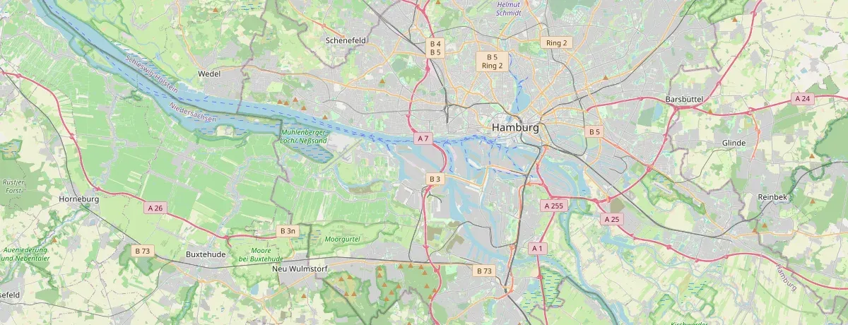
Lädt Kartenkacheln von OpenStreetMap; dabei wird deine IP-Adresse an deren Server übertragen. Deine Entscheidung merken wir uns in diesem Browser. Kartenbild: © OpenStreetMap-Mitwirkende (ODbL)
Alle Orte als Liste (59)

Orte nach Status

Parkplatz Neumühlen: Neumühlen   panoramio

Parkplatz Neumühlen

Schwelle voraussichtlich erreicht
Höchststand
914 cm
Schwelle
790 cm am Pegel
Erreicht

Ottensen

Parkplatz Rissener Ufer

Schwelle voraussichtlich erreicht
Höchststand
914 cm
Schwelle
790 cm am Pegel
Erreicht

Rissen

Campingplatz Falkensteiner Ufer

Schwelle voraussichtlich erreicht
Höchststand
914 cm
Schwelle
840 cm am Pegel
Erreicht

Blankenese

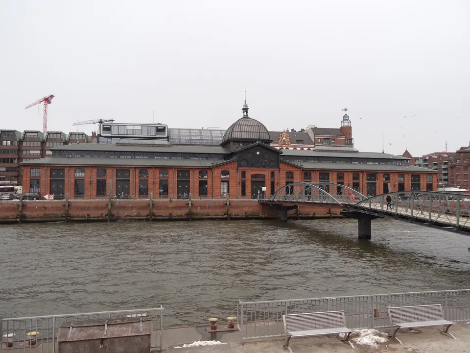
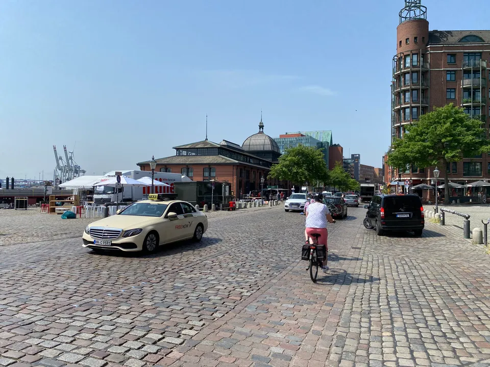
Hamburger Fischmarkt: Fischauktionshalle (Hamburg Altona)

Hamburger Fischmarkt

Schwelle voraussichtlich erreicht
Höchststand
914 cm
Schwelle
850 cm am Pegel
Erreicht

Altona-Altstadt

Elbuferweg

Schwelle voraussichtlich erreicht
Höchststand
914 cm
Schwelle
850 cm am Pegel
Erreicht

Othmarschen

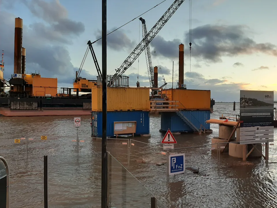
Blankenese Strandweg: Leuchtturm Unterfeuer Blankenese   Neubau   bei Hochwasser (2)

Blankenese Strandweg

Schwelle voraussichtlich erreicht
Höchststand
914 cm
Schwelle
860 cm am Pegel
Erreicht

Blankenese

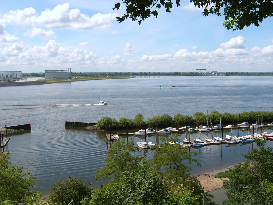
Blankenese Mühlenberg: Hh muehlenberg yachthafen

Blankenese Mühlenberg

Schwelle voraussichtlich erreicht
Höchststand
914 cm
Schwelle
880 cm am Pegel
Erreicht

Nienstedten

Nippoldweg

Schwelle voraussichtlich erreicht
Höchststand
914 cm
Schwelle
880 cm am Pegel
Erreicht

Neuhof

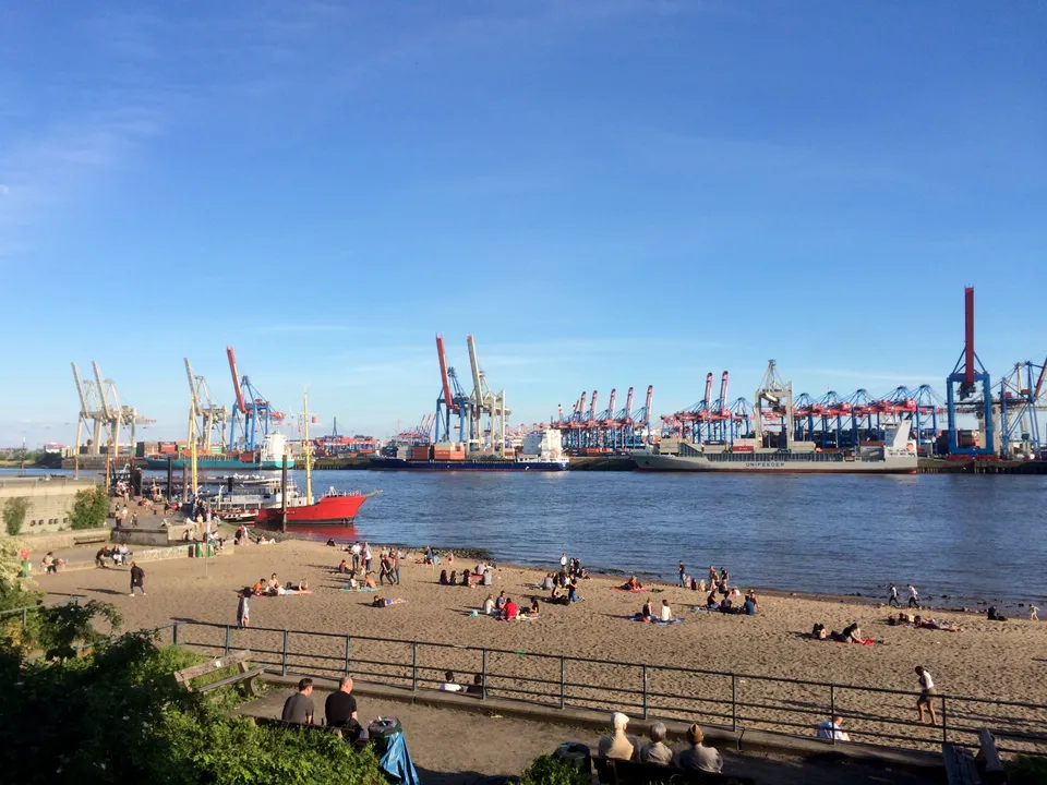
Övelgönne: Elbstrand in Hamburg Övelgönne

Övelgönne

Voraussichtlich knapp unter der Schwelle
Höchststand
914 cm
Schwelle
930 cm am Pegel
Abstand
16 cm zur Prognose-Spitze

Othmarschen

Peuter Elbdeich

Voraussichtlich knapp unter der Schwelle
Höchststand
914 cm
Schwelle
930 cm am Pegel
Abstand
16 cm zur Prognose-Spitze

Veddel

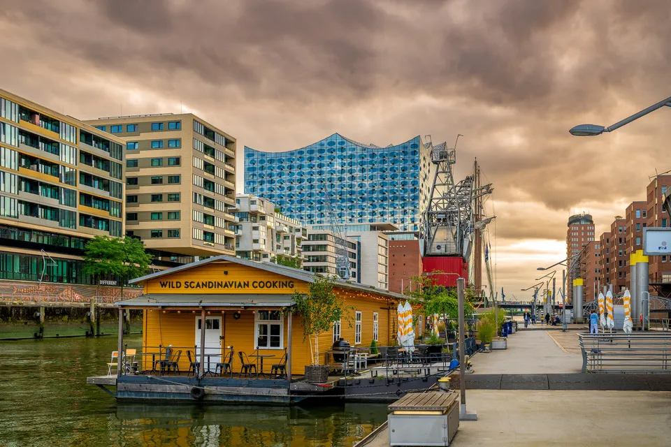
Promenaden in der HafenCity: Cloudy day in Hamburg 2025 1

Promenaden in der HafenCity

Voraussichtlich knapp unter der Schwelle
Höchststand
914 cm
Schwelle
930 cm am Pegel
Abstand
16 cm zur Prognose-Spitze

HafenCity

Große Elbstraße / Schellfischposten: Große Elbstraße

Große Elbstraße / Schellfischposten

Voraussichtlich knapp unter der Schwelle
Höchststand
914 cm
Schwelle
940 cm am Pegel
Abstand
26 cm zur Prognose-Spitze

Altona-Altstadt

Ellerholzweg

Voraussichtlich knapp unter der Schwelle
Höchststand
914 cm
Schwelle
940 cm am Pegel
Abstand
26 cm zur Prognose-Spitze

Neuhof

Rissener Ufer

Voraussichtlich knapp unter der Schwelle
Höchststand
914 cm
Schwelle
940 cm am Pegel
Abstand
26 cm zur Prognose-Spitze

Rissen

Elbchaussee Höhe Teufelsbrück

Voraussichtlich erhöht
Höchststand
914 cm
Schwelle
950 cm am Pegel
Abstand
36 cm zur Prognose-Spitze

Nienstedten

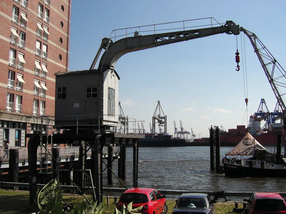
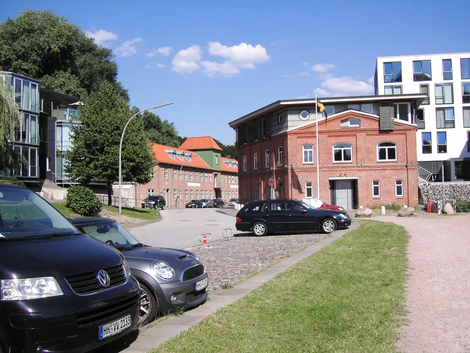
Neumühlen: Alter Kran   panoramio   Arnold Schott (1)

Neumühlen

Voraussichtlich erhöht
Höchststand
914 cm
Schwelle
960 cm am Pegel
Abstand
46 cm zur Prognose-Spitze

Ottensen

Altenwerder Damm

Voraussichtlich erhöht
Höchststand
914 cm
Schwelle
960 cm am Pegel
Abstand
46 cm zur Prognose-Spitze

Waltershof

Am Holthusenkai

Voraussichtlich erhöht
Höchststand
914 cm
Schwelle
960 cm am Pegel
Abstand
46 cm zur Prognose-Spitze

Kleiner Grasbrook

Fährstieg

Voraussichtlich erhöht
Höchststand
914 cm
Schwelle
960 cm am Pegel
Abstand
46 cm zur Prognose-Spitze

Wilhelmsburg

Hakenstraße

Voraussichtlich erhöht
Höchststand
914 cm
Schwelle
960 cm am Pegel
Abstand
46 cm zur Prognose-Spitze

Wilhelmsburg

Speicherstadt / Sandtorkai

Speicherstadt / Sandtorkai

Voraussichtlich erhöht
Höchststand
914 cm
Schwelle
980 cm am Pegel
Abstand
66 cm zur Prognose-Spitze

HafenCity

Ernst-August-Deich

Voraussichtlich erhöht
Höchststand
914 cm
Schwelle
980 cm am Pegel
Abstand
66 cm zur Prognose-Spitze

Wilhelmsburg

Köhlbrandstraße

Unauffällig
Höchststand
914 cm
Schwelle
990 cm am Pegel
Abstand
76 cm zur Prognose-Spitze

Neuhof

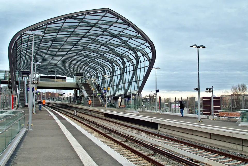
Zweibrückenstraße: Elbbrücken S Bahn Hamburg

Zweibrückenstraße

Unauffällig
Höchststand
914 cm
Schwelle
1000 cm am Pegel
Abstand
86 cm zur Prognose-Spitze

HafenCity

Brooktorkai und Oberhafen

Unauffällig
Höchststand
914 cm
Schwelle
1000 cm am Pegel
Abstand
86 cm zur Prognose-Spitze

HafenCity

Kattwykstraße

Unauffällig
Höchststand
914 cm
Schwelle
1000 cm am Pegel
Abstand
86 cm zur Prognose-Spitze

Hohe Schaar

Reiherstiegdeich

Unauffällig
Höchststand
914 cm
Schwelle
1000 cm am Pegel
Abstand
86 cm zur Prognose-Spitze

Wilhelmsburg

Rossweg

Unauffällig
Höchststand
914 cm
Schwelle
1000 cm am Pegel
Abstand
86 cm zur Prognose-Spitze

Steinwerder

Schilfstraße

Unauffällig
Höchststand
914 cm
Schwelle
1000 cm am Pegel
Abstand
86 cm zur Prognose-Spitze

Steinwerder

Kattwykweg

Unauffällig
Höchststand
914 cm
Schwelle
1010 cm am Pegel
Abstand
96 cm zur Prognose-Spitze

Kattwyk

Rugenberger Damm

Unauffällig
Höchststand
914 cm
Schwelle
1010 cm am Pegel
Abstand
96 cm zur Prognose-Spitze

Waltershof

Nippoldstraße

Unauffällig
Höchststand
914 cm
Schwelle
1020 cm am Pegel
Abstand
106 cm zur Prognose-Spitze

Neuhof

Ole Karkhoff

Unauffällig
Höchststand
914 cm
Schwelle
1020 cm am Pegel
Abstand
106 cm zur Prognose-Spitze

Neuhof

Rethestieg

Unauffällig
Höchststand
914 cm
Schwelle
1020 cm am Pegel
Abstand
106 cm zur Prognose-Spitze

Neuhof

Westerweg

Unauffällig
Höchststand
914 cm
Schwelle
1020 cm am Pegel
Abstand
106 cm zur Prognose-Spitze

Steinwerder

Reiherstraße

Unauffällig
Höchststand
914 cm
Schwelle
1030 cm am Pegel
Abstand
116 cm zur Prognose-Spitze

Steinwerder

Stillhorner Damm

Unauffällig
Höchststand
914 cm
Schwelle
1030 cm am Pegel
Abstand
116 cm zur Prognose-Spitze

Kleiner Grasbrook

Vogelreth

Unauffällig
Höchststand
914 cm
Schwelle
1030 cm am Pegel
Abstand
116 cm zur Prognose-Spitze

Kleiner Grasbrook

Arningstraße – Anleger

Unauffällig
Höchststand
914 cm
Schwelle
1040 cm am Pegel
Abstand
126 cm zur Prognose-Spitze

Kleiner Grasbrook

Bubendeyweg und Seemannshöft

Unauffällig
Höchststand
914 cm
Schwelle
1040 cm am Pegel
Abstand
126 cm zur Prognose-Spitze

Dradenau

Finkenwerder Kutterhafen

Unauffällig
Höchststand
914 cm
Schwelle
1040 cm am Pegel
Abstand
126 cm zur Prognose-Spitze

Finkenwerder

Köhlbranddeich

Unauffällig
Höchststand
914 cm
Schwelle
1040 cm am Pegel
Abstand
126 cm zur Prognose-Spitze

Steinwerder

Neuhöfer Brückenstraße

Unauffällig
Höchststand
914 cm
Schwelle
1040 cm am Pegel
Abstand
126 cm zur Prognose-Spitze

Neuhof

Neuhöfer Damm

Unauffällig
Höchststand
914 cm
Schwelle
1040 cm am Pegel
Abstand
126 cm zur Prognose-Spitze

Neuhof

Norderelbstraße

Unauffällig
Höchststand
914 cm
Schwelle
1040 cm am Pegel
Abstand
126 cm zur Prognose-Spitze

Steinwerder

Rohrweg

Unauffällig
Höchststand
914 cm
Schwelle
1040 cm am Pegel
Abstand
126 cm zur Prognose-Spitze

Steinwerder

Vulkanstraße

Unauffällig
Höchststand
914 cm
Schwelle
1040 cm am Pegel
Abstand
126 cm zur Prognose-Spitze

Neuhof

Werftstraße

Unauffällig
Höchststand
914 cm
Schwelle
1040 cm am Pegel
Abstand
126 cm zur Prognose-Spitze

Kleiner Grasbrook

Worthdamm

Unauffällig
Höchststand
914 cm
Schwelle
1040 cm am Pegel
Abstand
126 cm zur Prognose-Spitze

Steinwerder

Falkensteiner Ufer

Unauffällig
Höchststand
914 cm
Schwelle
1050 cm am Pegel
Abstand
136 cm zur Prognose-Spitze

Blankenese

Kehrwieder

Unauffällig
Höchststand
914 cm
Schwelle
1050 cm am Pegel
Abstand
136 cm zur Prognose-Spitze

Speicherstadt

Nehlsstraße

Unauffällig
Höchststand
914 cm
Schwelle
1050 cm am Pegel
Abstand
136 cm zur Prognose-Spitze

Steinwerder

Sachsenbrücke

Unauffällig
Höchststand
914 cm
Schwelle
1050 cm am Pegel
Abstand
136 cm zur Prognose-Spitze

Kleiner Grasbrook

Entenwerder Stieg

Unauffällig
Höchststand
914 cm
Schwelle
1070 cm am Pegel
Abstand
156 cm zur Prognose-Spitze

Rothenburgsort

Kaltehofe Hauptdeich

Unauffällig
Höchststand
914 cm
Schwelle
1070 cm am Pegel
Abstand
156 cm zur Prognose-Spitze

Rothenburgsort

Hanseatenstieg / Vierländer Damm

Unauffällig
Höchststand
914 cm
Schwelle
1150 cm am Pegel
Abstand
236 cm zur Prognose-Spitze

Rothenburgsort

Zollvereinstraße

Unauffällig
Höchststand
914 cm
Schwelle
1150 cm am Pegel
Abstand
236 cm zur Prognose-Spitze

Rothenburgsort